What is NetMap Portal?
Online Watershed Maps
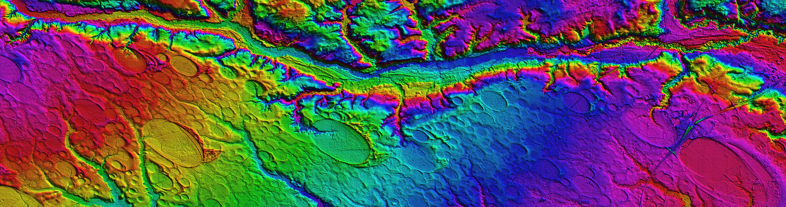
NetMap’s virtual watersheds work within an ArcGIS environment as a set of digital shapefiles, and contain information pertaining to river networks, channel environments, floodplains, riparian zones, erosion potential and roads. Using ArcGIS requires adequate computer hardware, proprietary software and some experience. Thus, many people may have difficult accessing and using the wealth of watershed information contained in NetMap datasets.
The NetMap Portal, a free online mapping application, was developed to ease access and use of virtual watershed information in the form of maps. Here users can pan, zoom in and out, and search for specific watershed attributes, like the best fish habitats, highest erosion potential, best riparian areas and widest floodplains, among other attributes. Searches can be made to identify locations where two attributes overlap, like the highest 1% of coho habitat quality and the highest 10% of erosion potential.
NetMap Portal watersheds only cover a select subgroup of all NetMap datasets, primarily using LiDAR developed after 2017. To see all NetMap datasets, go HERE.
Refer to NetMap Portal’s technical help and tutorial.
What Places & Interactions in Your Watershed Matters Most?
NetMap Portal applications include: watershed restoration, urban planning, fisheries, forestry, risk mitigation and climate change. What can you do with the Portal? Many things, like locate best habitats, explore floodplain extent and complexity, detect landslide prone slopes, delineate debris flow potential, map stream thermal sensitivity and more.
Need your own online watershed map? Contact us
Public Netmap
This map shows the locations of NetMap Portal datasets. Just zoom in and click on any of the watersheds that are highlighted.